
Technology for space research will help prevent landslides
At the Center for Astrophysics and Related Technologies (CATA) they were able to apply their experience and development of tools to create a system that measures and provides information on humidity and landslides, which would help to anticipate possible landslides and prevent catastrophes.
Among the work areas of the Center for Astrophysics and Related Technologies (CATA) is the Technology Transfer area, which seeks to promote the development of high-level technologies in Chile, supporting astronomical instrumentation and computing initiatives. And, at the same time, to connect these technological capabilities and the knowledge of the Center’s researchers with the needs of industry and society.
“In this sense, we are focused on the experience of studies, together with the development of technologies and tools that we use for advances in Astrophysics, such as the synchronization of radio telescopes, we can also apply them in other areas, such as mining, agriculture, disaster prevention and other areas that contribute to the development of the country”, says Felipe Guajardo, CATA’s Technology Transfer Engineer. Translated with DeepL.com (free version)
In this scenario, it was possible to develop a system called TPR (Telemetry for Piles and Tailings), which allows measurements of temperature, humidity and gravity vector (ground movement).
With this, for example, it is possible to see if there are water saturation levels in an area and also to discover minimum variations of mass movement, thanks to an accelerometer, which would allow to anticipate the occurrence of avalanches and sinkholes, such as those recently seen in our country.
How TPR works
The TPR operates with stakes that are buried in the study areas and collect information through the equipment developed by the Technology Transfer area of CATA, in the Millimeter Wave laboratories of the University of Chile.
This data is sent, wirelessly, to a central office that may be several kilometers away where the data is processed and made available to the user on a web site. Variables can be analyzed in real time and alarms can be generated if a terrain is becoming saturated with water, or if it is tilting.
The TPR, developed by CATA, was initially designed for the mining sector to monitor and control the irrigation and humidity of leach and tailings heaps, hence its name. At the same time, its usefulness for the study of critical population zones with the possibility of mass removal (alluvium) was envisioned.
“The technology does not have a high cost, it is easy to implement and the distribution of the stakes is done according to the information requirements, to achieve a mapping of the area. Afterwards, it is up to a geologist or professional in the area to make an interpretation of the data provided by the different points studied. An advantage is that the stakes use a solar panel, which gives them energy autonomy,” adds Felipe Guajardo, CATA engineer.
The application of the TPR developed by CATA is wide, such as control of areas at risk of landslides and alluvium; monitoring of agricultural land, aquifers and water table; sanitary landfills; control of industrial liquid waste, and other specific areas such as hydrology, agronomy, geology and geophysics.
Outstanding news


Recent news
-
 Publicado el: 10/07/2026Astronomy and bioengineering for security in food supply: CATA and the BIO-UAI Center form a partnership to develop a new system
 -
 Publicado el: 01/07/2026The Vera C. Rubin Observatory launches the largest survey of the moving universe: the LSST officially begins
 -
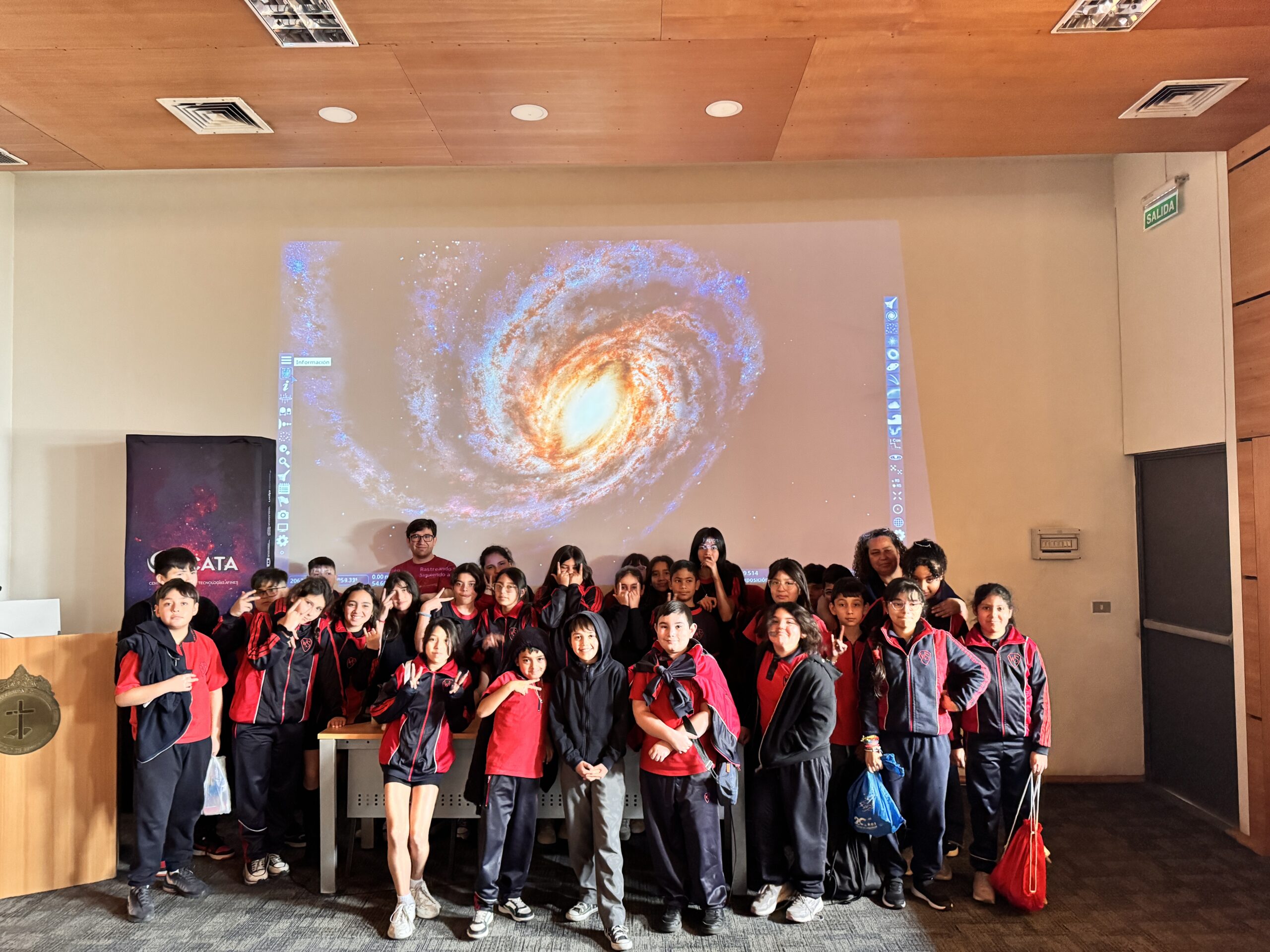
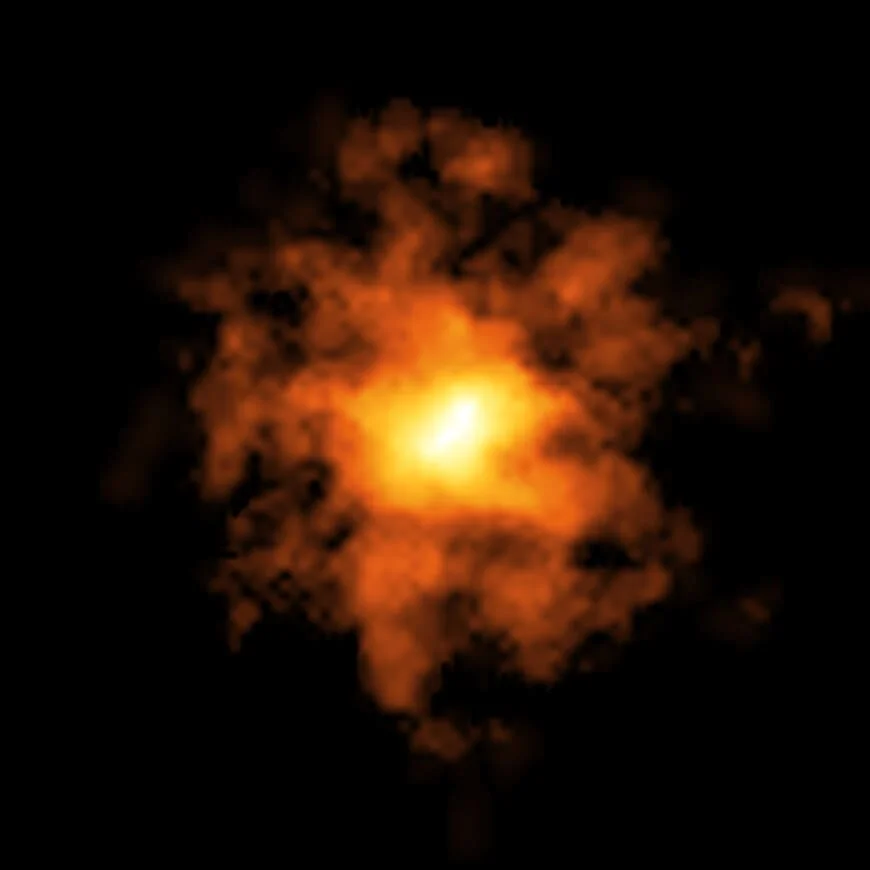 Publicado el: 01/07/2026Fuel found that fueled a galaxy’s growth in the cosmic dawn
 -
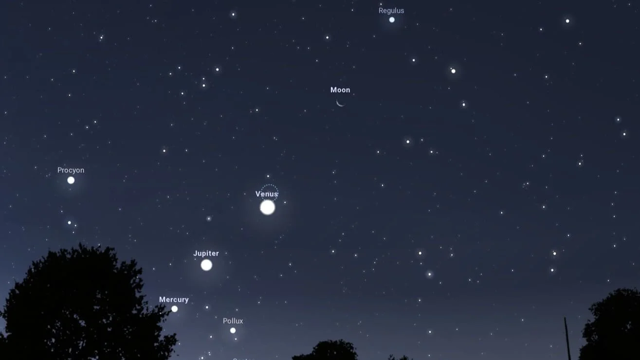 Publicado el: 15/06/2026Planetary alignment of Mercury, Venus, Jupiter, and the Moon: a spectacle visible from Chile
 -
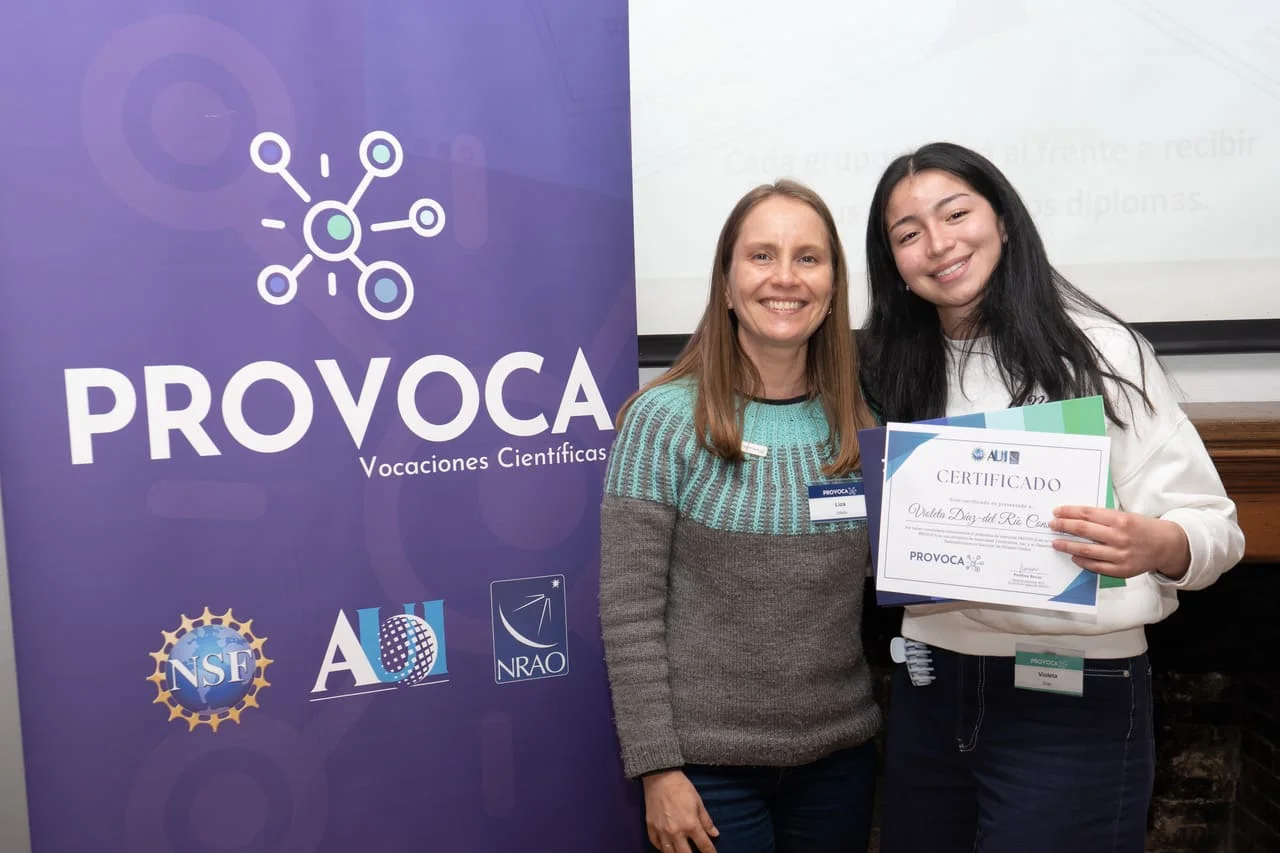 Publicado el: 12/06/2026CATA and PROVOCA are launching a partnership to encourage scientific careers among the next generation
Categories list
- Acknowledgments 26
- Astrobiology 11
- AstroCluster 1
- Black holes 19
- Corporativo 70
- Cosmology 7
- Descubrimientos 25
- Disclosure 87
- Exoplanets 17
- Extension 12
- Galaxies 25
- Galaxies formation 9
- Inter y Transdisciplina 5
- Local Universe 20
- Publications 8
- Sin categorizar 34
- Solar System 27
- Stellar formation 11
- Technology 27
- Technology Transfer 30


